More Videos
Subscribe to my YouTube channel for the latest GIS tutorials and lectures.
Visit Channel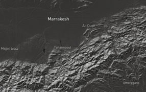
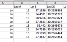
DMS to DD in Excel
How to convert Lat/Long from Degree, Minutes, Seconds into Decimal Degrees.
YouTube Video
DD to DMS in Excel
How to convert Lat/Long from Decimal Degrees to Degree, Minutes, Seconds.
YouTube Video
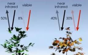
NDVI with ArcMap 10.1
4 band Aerial Photo (RGBiR) is used to calculate the Normalized Difference Vegetation Index (NDVI)
YouTube Video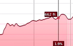
Elevation Transect in Google Earth
Use Google Earth to explore the elevations of a particular path
YouTube Video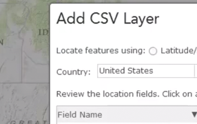
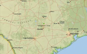
Geocoding Addresses with ArcGIS.com
How to geocode addresses from an Excel Spreadsheet (xlsx) to a shapefile (shp).
YouTube Video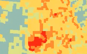
Choropleth Mapping in ArcMap
In this video we look at choropleth mapping of FEMA declared disasters.
YouTube Video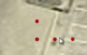
Import GPS into ArcMap
This lab maps and then measures the error associated with GPS signals.
YouTube Video
What is GIS? - The Tool, Science, and Art
An introductory video about GIS, what it is, and how to apply it. A lecture you would get on the first day of class.
YouTube Video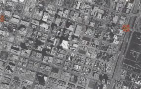
Georeferencing a Historical Air Photo in ArcGIS Pro
Image to Basemap Georeferencing in ArcGIS Pro of historical aerial photography
YouTube Video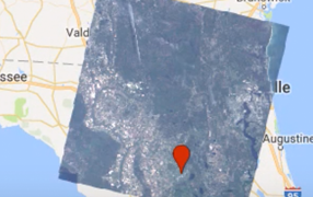
Adding Landsat Data into Google Earth Engine
Learn how search and find remotely sensed imagery in Google Earth Engine.
YouTube Video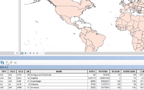
How to Open Attribute Tables in ArcMap 10
How to open the attribute table of a shapefile or layer in ESRI ArcMap 10 Desktop.
YouTube Video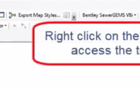
How to Open a Toolbar in ArcMap
How to find and open a toolbar in ESRI ArcMap 10 Desktop.
YouTube Video
Extract Graph Points to Excel
Extracting points from a Graph (X-Y Plot) to use in Excel.
YouTube Video
Geographic Weighted Regression
Perform Geographic Weighted Regression on 911 phone calls.
YouTube Video
Supervised Image Classification
Supervised Image Classification in ArcGIS Desktop - ArcMap.
YouTube Video