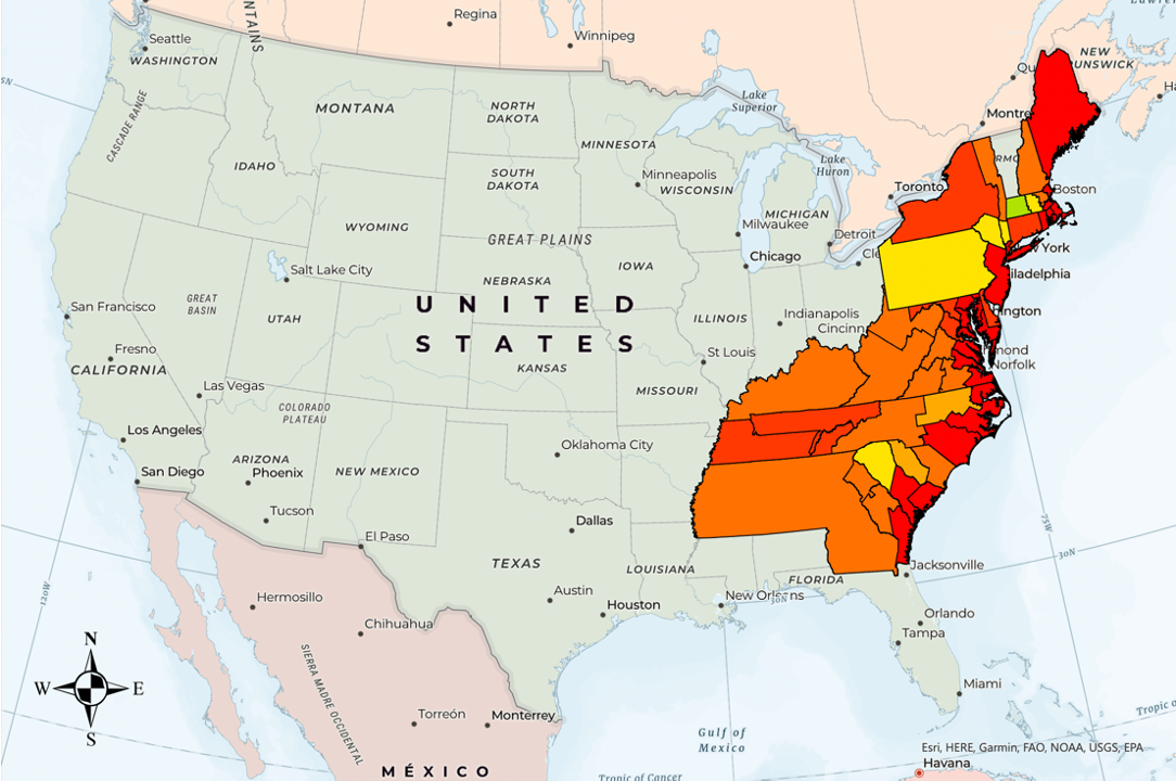
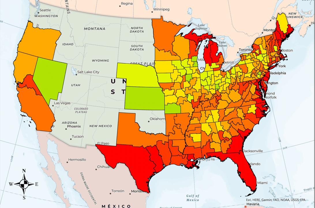
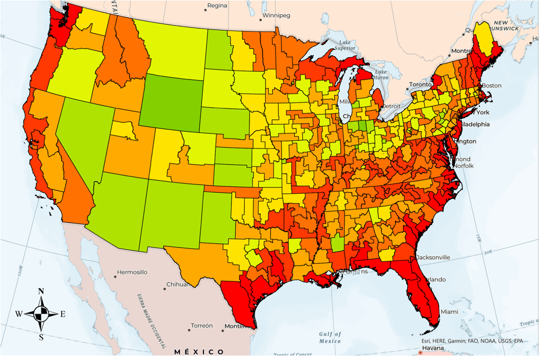
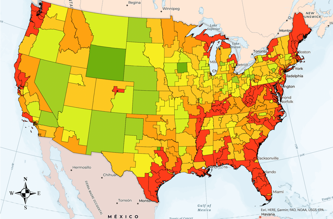
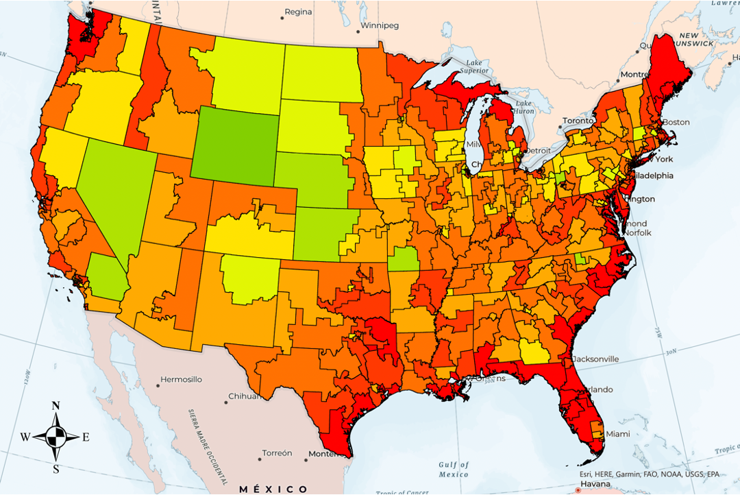
Welcome to the Gerrymandering Mapping Project. This is a Spatial-Based Analysis Project with the primary objective of quantitatively measuring and studying the geometric characteristics of congressional districts. Utilizing advanced geospatial technologies and methodologies, the project analyzes the impacts of gerrymandering on the configuration of these districts. The analytical framework incorporates established geometric compactness measures, specifically the Polsby-Popper and Reock equations, to assess the shape and boundaries of congressional districts.
Moulay Anwar Sounny-Slitine, PhD
Grace Wilson