10/3 - Part 1 Week 6 - Logistics and announcements
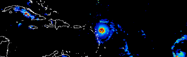
Figure - Animation showing a three-day progression of Atlantic hurricanes in September 2017.
Welcome to the Engaging with the Public module of your remote sensing course, where you will learn how to translate your work to the public and engage with the community. Throughout the course, you have made excellent progress, learning about different aspects of remote sensing and working with Google Earth Engine. You have explored creating indices, working with elevation models, performing classifications, and honing your skills in JavaScript programming.
In this module, we will explore how to showcase your scientific products to the public in a manner that is engaging and easy to understand. This module consists of two labs. In the first lab, you will learn how to create animations using Google Earth Engine. Lab 19 - Making a Gifs and Videos of Environmental Change Animations created by Google Earth Engine are incredibly popular on social media and provide an excellent opportunity to highlight environmental changes. In the second lab, you will learn how to create web applications with Google Earth Engine. Lab 20 - Design UI/UX and Deploying Google Earth Engine Apps These applications provide non-skilled users with easy-to-use interfaces that allow them to interact with the scientific products created through remote sensing.