Sessions
Georeferencing Lecture
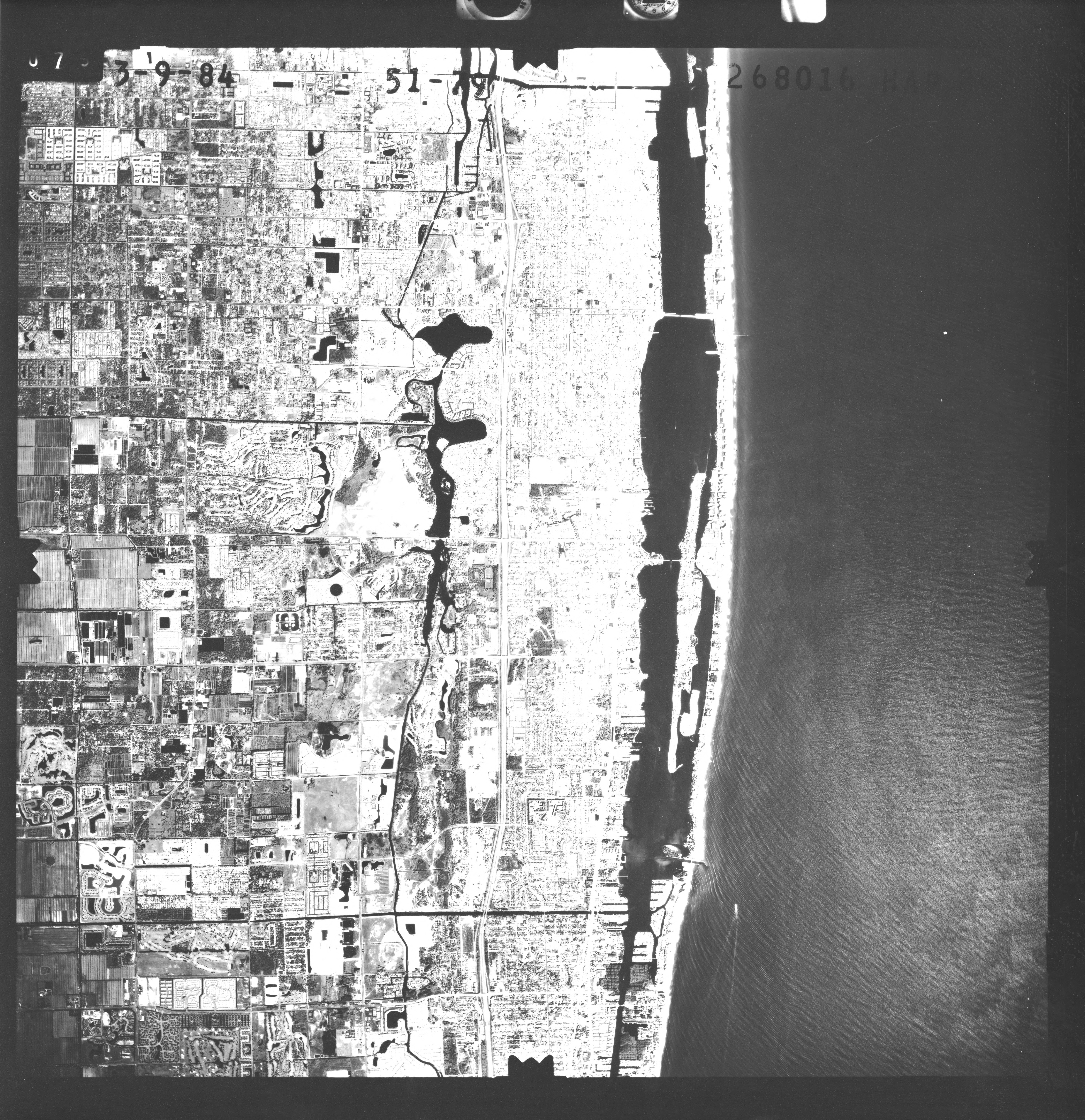
Aligning geographic data to a known coordinate system using Ground Control Points (GCPs).
Watch VideoGeoreferencing Workshop
Practical session on rectified images, GCP placement, and RMS error analysis in QGIS.
📚 Required Readings
Understanding datums, projections, and CRS transformations.
📖 GIS eBook - Chapter 7Ground control points, transformation methods, and accuracy assessment.
📖 GIS eBook - Chapter 8📝 Key Concepts for the Exam
A CRS defines how 2D map coordinates relate to real locations on the Earth. Every spatial project must declare its CRS. Mismatched CRS between layers is the most common source of spatial error.
Lat/Lon in degrees on an ellipsoid. Standard: WGS 84 (EPSG:4326), used by GPS.
Flat surface with units in meters. Example: UTM Zone 32N (EPSG:32632) for Strasbourg.
- Datum: A mathematical model of the Earth's shape (ellipsoid + reference point). WGS 84 is the global standard; local datums (e.g., ED50) may shift positions by tens of meters.
- Projection: The method for flattening 3D coordinates onto a 2D map. All projections distort either area, shape, distance, or direction.
- Ground Control Points (GCPs): Known locations used to anchor raster imagery. More GCPs (well-distributed) yield lower RMS error.
- RMS Error: Root Mean Square Error measures the average residual after transformation. Target: less than 1 pixel for precise work.
- On-the-Fly (OTF) Projection: GIS software temporarily reprojects layers for visual overlay without permanently altering coordinates.
🎓 Module 3 Knowledge Check
1. What does a high RMS Error indicate during georeferencing?
2. Which resampling method is best for categorical data (like land use) to avoid creating new classes?