Welcome to the Textbook
Open-access and comprehensive curriculum authored by Dr. Sounny. Explore foundational GIS and remote sensing, paired with hands-on labs and browser-based interactives.
Part I: Foundations of GIS & Spatial Data
Part II: Data Creation & Management
Part III: Remote Sensing & Earth Observation
Part IV: Spatial Analysis & Modeling
Part V: Applied GIS & Ethics
Part VI: Research & Data Management
Part VII: The Future of GIS
Labs & Practical Exercises
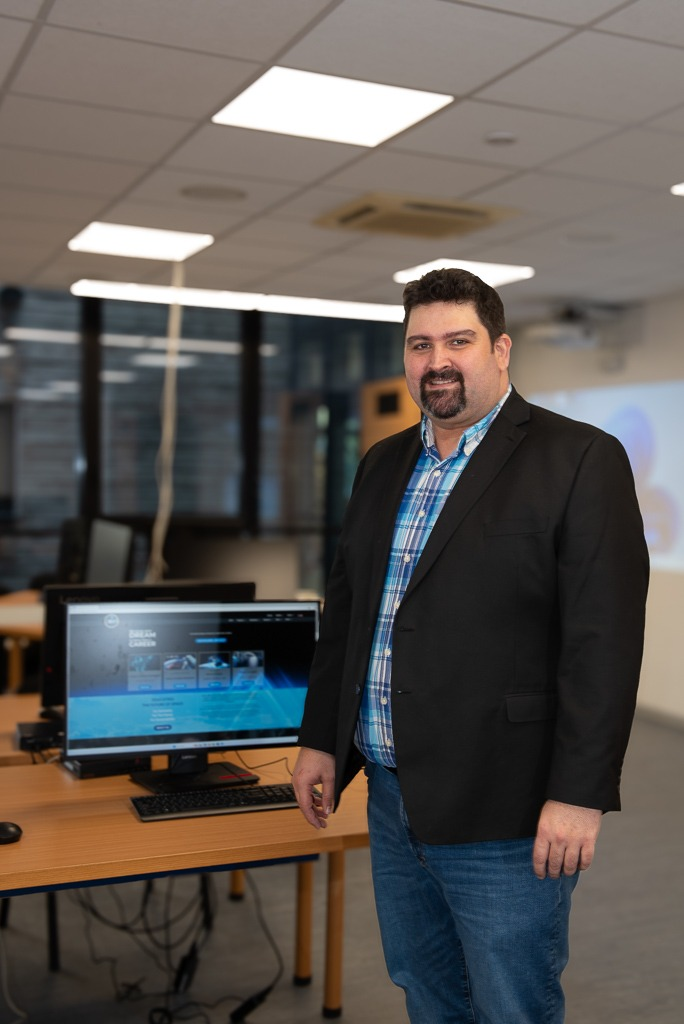
Dr. Moulay Anwar Sounny-Slitine
Dr. Sounny has been using GIS since the year 2000, witnessing its remarkable evolution firsthand. When he began, the most popular GIS software was ArcGIS 3.2, and Google Maps didn't even exist yet. Over the past two and a half decades, he has witnessed the GIS Revolution—from Desktop GIS to Web GIS, and now preparing for the AI Revolution's impact on GIS.
Through all these technological transformations, one truth has remained constant: while the tools we use to do GIS have changed dramatically, the fundamentals of asking questions of "where" and conducting spatial analysis have not changed. Because of this enduring foundation, Dr. Sounny is writing this book to create spatial thinkers and to empower you with the geographic approach to analysis. Together, we are studying the Science of Where.